
A lot of old logging roads or sand pits scattered around. We picked one
to take a break on [47 25'36"N 88 00'56"W]. We had bought Fly Paper at the
general store, which allowed us to regain our sanity. I think we swatted maybe 50, and there must be 100+ on the fly papers! From now on, we shut the cab
windows when we stop!
Went for a "Bushwack" hike. Tried getting to Meadow Lake, a roadless lake nearby. Ended up hiking about 7 miles.. when we found it, it was a little swampy so not swimmable. Ended up taking a swim in Medora Lake.
Great Night sleep!
[ 3 comments ] ( 28 views )
My Mum, Miranda, Odie and I found 3 GeoCaches south of Superior, and then visited Pattison State Park quick. Nice looking area, but swimming lake was hugely busy.
-Joe
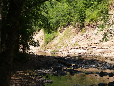
The path we took at the State Park ended in this small river.
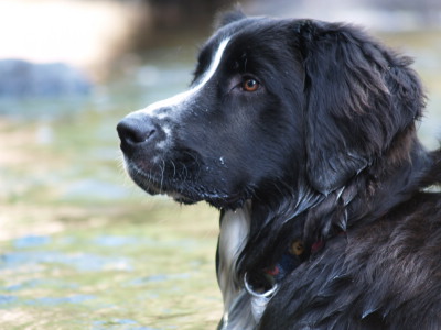
Nice head shot of Odie while he was in the river.
[ 2 comments ] ( 4 views )
After our drive on Hwy 1 a few days ago, we've been excited to try again. I bought a 12v Spotlight that lights up better than headlights! Miranda and I left Duluth at 7pm to go Moose Hunting! We drove 60 miles to the start of Hwy 1 up the North Shore. It wasn't quite dark yet so we hiked the Superior Hiking trail starting @ 47°21'17"N 91°11'44"W West to the Baptism Falls. It was only 1.2 Miles, but huge terrain. It is a well maintained trail though.
After Driving most of the night down Dirt roads shooting the spotlight in every
swamp/lake/field, and after seeing limited wildlife (baby deer, Bats, Fox, Heron), we finally had luck back on Hwy1. Five miles north of Finland, for about 3 miles appears to be Moose Land! We saw 2-3 different males and
a mother and her calf along the way! We couldn't believe it, one after another.
Giant Black Creepy masses slowly hulking along the swampy shoulders. Tried hard to get pictures, but with the slow exposure time at night, we didn't have much luck!
-Joe
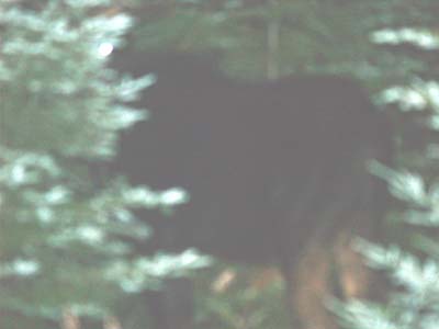
Mega-fancy camera, and this is all miranda can get of a moose?!
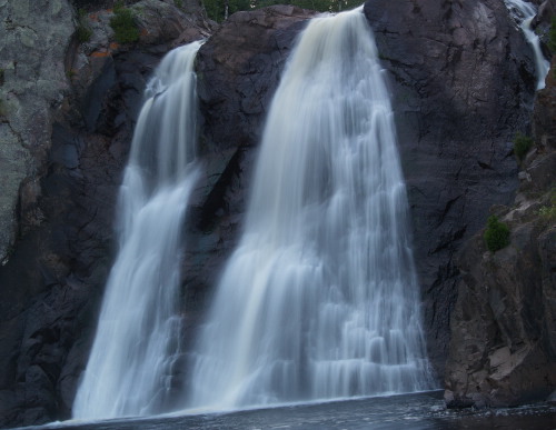
The Baptism Falls. OOOoooo nice exposure Miranda!
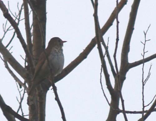
A Hermit Thrush we saw along the way.
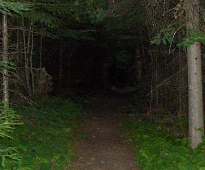
Creepy section of Superior Hiking Trail at dusk.
[ add comment ]
Since Joe and I had driven up to his mom's after our Eagle Mountain hike, we all went for a hike north of Ely. The trails seemed to be mostly for cross-country skiing, but they were great hike. There were many different loops to choose from. In the end, Joe, his mom, Odie, and I hiked about 4 miles.
-Miranda
We saw a few deer and a strange wildflower I had not remembered seeing? turned out to be a "Heal-all". Trailhead was near: 47°58'51"N 91°58'59"W
-Joe
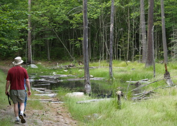
A wetland area we passed. Odie is in the water.

[ 1 comment ] ( 1 view )
Joe and I drove up to the Boundary Waters to hike up Eagle Mountain, the highest point in Minnesota. It was a nice 3.5 mile hike. Busy weekend though, we passed quite a number of groups along the way. After the hike we decided that we would drive to his mother's house instead of going home. Along the way we saw a Ruffed Grouse and her babies, Ravens, and a cute baby coyote. The most excitement was when we almost hit a moose! Unfortunately we were unable to back the car up to try to get a picture.
-Miranda
We also updated our Fell in River, Broke Camera entry with some pictures off of the fixed camera below! Eagle Mountain is @ 47°53'51"N 90°33'39"W
-Joe
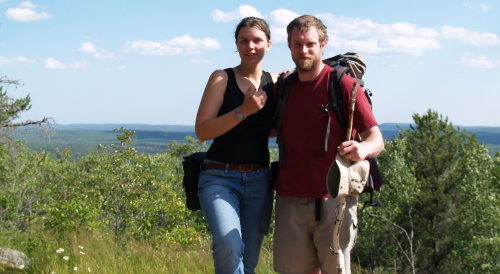
Joe and I on top of Eagle Mountain.
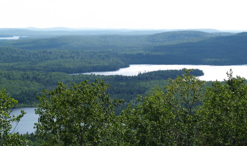
The view from top.
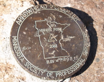
There was a plaque at the top as well as this marker.
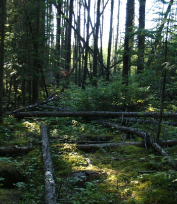
Even after 7 years since the wind storm in the BWCAW, there is still evidence that it occurred.
[ add comment ]
Back Next
 Calendar