-Joe
Joe and I saw a frog as soon as we got out of the car. Other animals we saw were deer, a porcupine, Canada Geese, Turkey Vultures, a Belted Kingfisher, and yet another Great Blue Heron. The birds were very noisy also, but I'm a bit rusty on my bird calls.
Here are some pictures with my new camera:
-Miranda
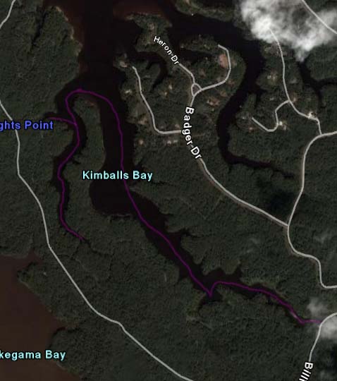
satelite map showing the path we took in purple.
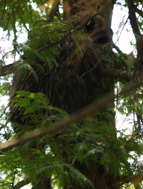
The porcupine climbed into the tree while we were there, so I got out to take some photos.
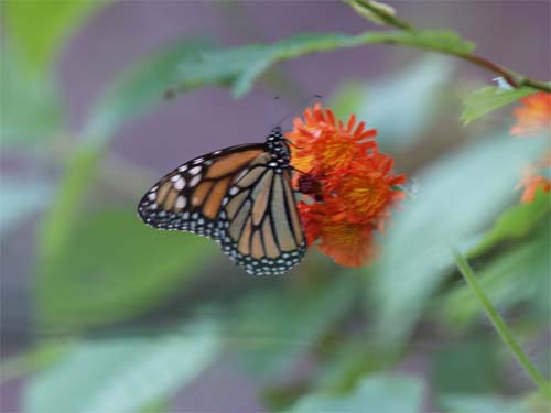
Joe's wonderful butterfly picture.
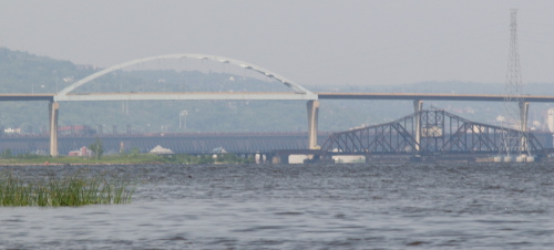
The Bong bridge and the old bridge below.
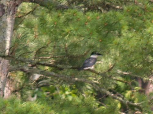
The Belted Kingfisher. He was far away, so this is the best picture I could get.
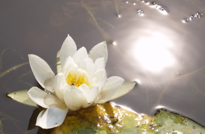
A lily pad flower with a bug on its petal.
[ 3 comments ] ( 9 views )
UPDATED: July 3rd-
I just updated this entry with the pictures off the broken camera as
we just got the replacement, and now we can both take pictures. Check out the merganser pictures below!
PREVIOUS:
Bad day. We went for a paddle just south of Island Lake in wetland and then a mucky river. I somehow managed to Tip the canoe while trying to get out and fall into the deep mucky leech-infested water... what a mess. had to swim out after the canoe and all.. Felt the diseases infesting as i raced home for a shower
-Joe
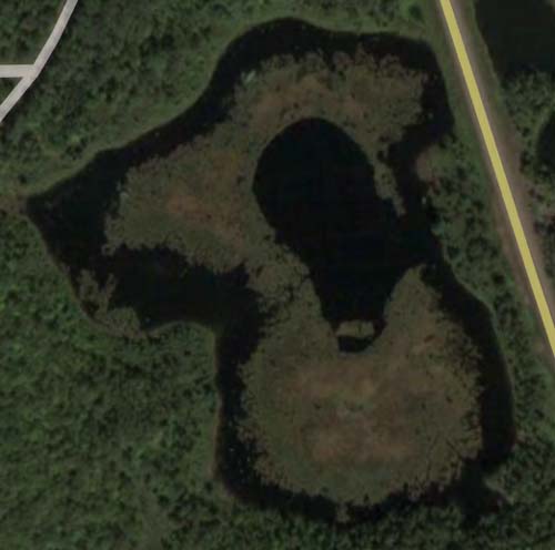
This is a wetland we figured had to have critters! Nothing really though... The outer circle makes roughly a 1 mile long paddle. Lots of Pitcher plants.
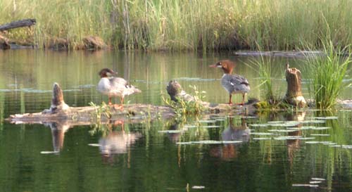
Common Mergansers in the Island Lake wetland, about the only life there.
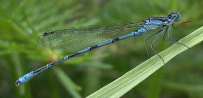
Blue dragonfly posing.
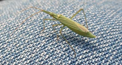
Crazy looking bug on Miranda's pants! What is it? Anyone know?
[ 1634 comments ] ( 19 views )
Miranda and I went for an evening paddle up and down Pokegama River Starting at: 46°39'57"N 92°07'36". We just missed a thunderstorm, winds were up high so we didn't go all the way to the Lake Superior Bay. We did see many animals along this thick, still, brown river though! Muskrat, Red-winged Blackbirds, many deer, rabbits, ducklings, Great Horned Owl, Great Blue Heron, Canada Geese. All in only 2 hours!
-Joe
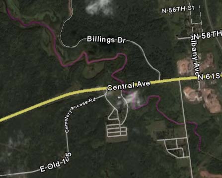
Purple line shows our path, Superior WI is to the right.

Muskrat working down the river.
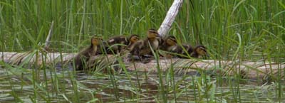
Ducklings balancing on a log.
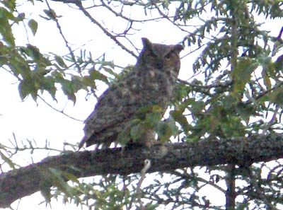
Great Horned Owl above us on river.
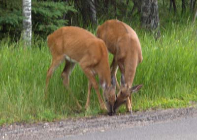
Pair of lovebirds ignoring us while we drive by.
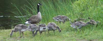
Geese Galore
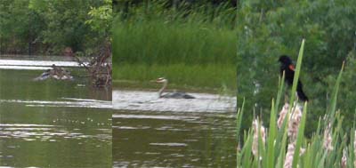
Winged Montage.
[ 1 comment ] ( 9 views )
After camping at Island Lake, Joe and I decided to go canoeing in a nearby wetland. He paddled around the edges while I took pictures. Afterwards, on our way home, we came upon a fox eating roadkill. We were afraid he might get hit by a car being that close to the road so I moved it into the grass before we left. (Just for a warning, there is a picture
-Miranda
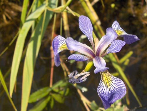
One of many Blue Flag Irises.
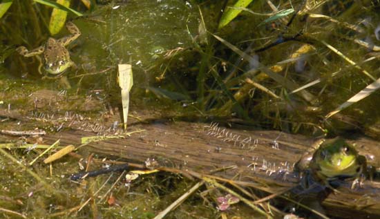
A couple frogs were kind enough to stay for a photo.
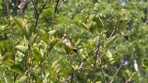
Just caught this Common Yellowthroat leaving the branch.
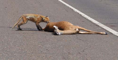
Scraggly fox didn't seem too afraid of cars.
[ 1 comment ] ( 6 views )
Back

 Calendar