We were without internet for 3 days, so had to find some place to stay where we could work. This is easier said than done in Fresno, CA apparently. The only RV parks were in the opposite direction from where going. We ended up stopping in a little town outside of Fresno where we still had good internet. Joe went
to see about a place to stay and there was actually a cop sitting across the highway from where we stopped. Joe talked to him and he said he didn't care if we parked next to where he was a stayed the night. So, that's what we did. We are now on our way to Sequoia National Park.
-Miranda
[ add comment ]
We decided to go for a hike and camp in the wilderness today. We got a wilderness permit (free) and packed up our packs to hike up to El Capitan. The guy at the place that gave us the permit said it was about 8 miles (one way) with an elevation change of about 3000 feet. We hiked for about 4 miles, had lunch, then kept on going up the steepest part of the hike. We only made it another two miles to where it flattened out before we decided to just make camp. Plus, the sign at the start of the hike said El Capitan was 10 miles away, not 8. We dropped our stuff off at camp and Joe and I decided to see if we could make it to the mountain. Well, we did... but it was another 4 miles... one way. We just about doubled our hike. The view was awesome, but we were hurting pretty bad by the time we got back to camp where Toan was sitting waiting for us with a fire going. Dinner sure tasted good.
-Miranda
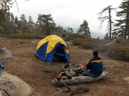
Our camp. Toan is trying to warm up by the fire while Joe's working on getting dishes clean enough for breakfast.
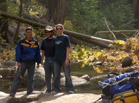
Our break spot by a stream on our way back.
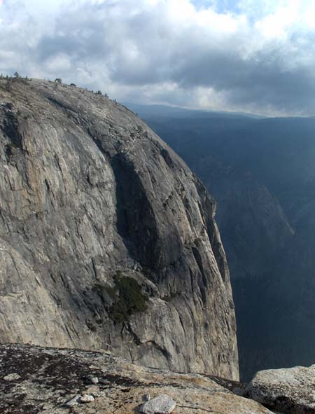
El Capitan from the top. Joe and I didn't hike all the way out, or even onto, the mountain. This view was pretty spectacular. The valley was huge!
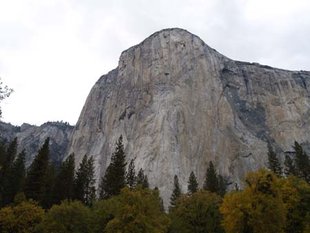
El Capitan from the ground in front of it in Yosemite Valley. Where we were standing the day before is just to the left in the photo.
[ add comment ]
So we went to Sacramento to pick up Joe's friend, Toan, at the airport. We ended up staying at an expensive KOA the night before though. Anyway, turned out Toan had a layover in Las Vegas where his flight ended up being cancelled. He had to fly to Pheonix that night then to Sacramento. We were parked in an economy lot for the day/night and Toan found us around 9pm (he was supposed to get there around 1pm). So, we stayed in the parking lot that night and left for Yosemite the next morning.
-Miranda
[ add comment ]
Here are a number of photos starting in the Oregon caves to our drive to Sacramento. While going down highway 101, there was a road you could take that went basically parallel to the highway called the "Avenue of Giants". We took that. It was a very pretty drive. Lots of big trees.
-Miranda
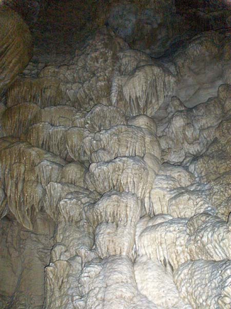
Some formations in th marble, Oregon Cave. Very neat looking.
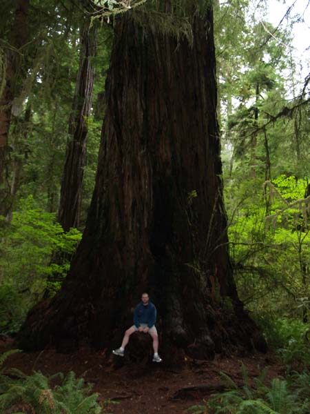
Joe sitting on the burl of a Redwood.
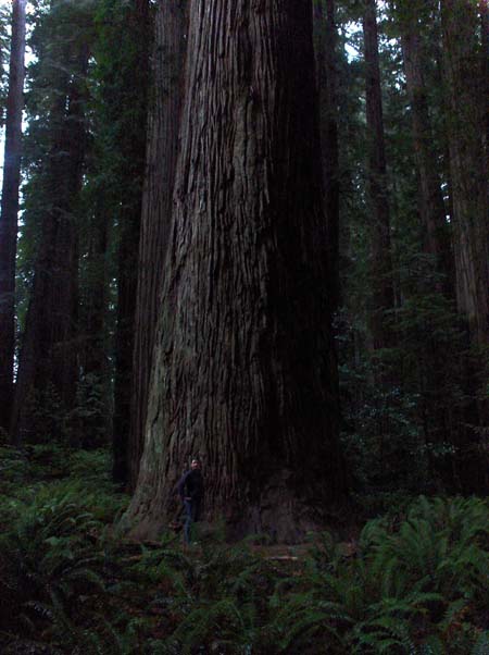
The largest Redwood we saw. It was in Stout Grove. It's probably about 16 feet in diameter.
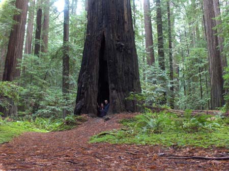
Yes, we are standing in the tree. The bark is very resistant to fire, so after many forest fires, it will typically make a hole in the bark and the fire eats away the dead inside. The outside, right under the bark, is living, so even though the bottom of the tree is partially hollowed out the tree still lives and stands.
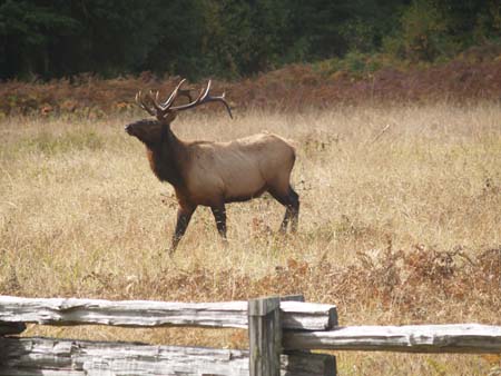
An elk we saw as we came into Elk Prairie State Park.
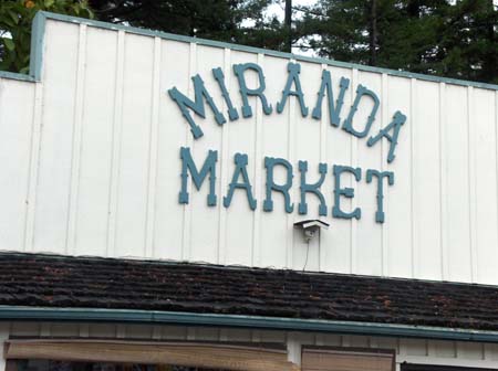
There is a town named Miranda along the Avenue of Giants.
[ 2 comments ] ( 7 views )
Okay, so I didn't realize how long it had been since I took the photos off of my camera. These four are from the Lava Beds National Monument. I still haven't gotten the photos off of Joe's camera so I'm not doing the Oregon Caves photos or Redwood's photos until I get the ones from there.
-Miranda
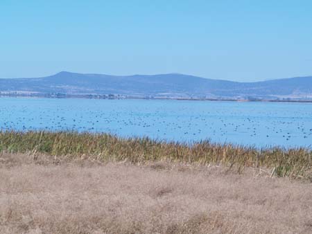
A lake nearby the monument. Yes, all those black spots are birds.
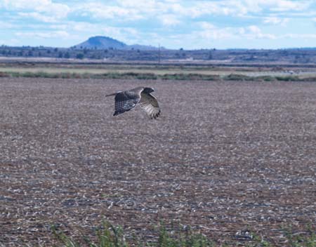
A, I think, young Red Tail Hawk that was flying by the RV.
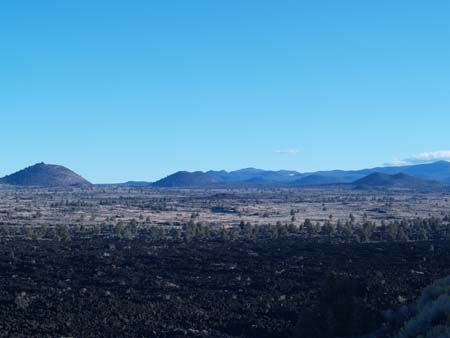
This was an area called the Devil's Homestead. The black below is an old lava flow. The mountains in the distance are volcanoes. I thought it was so neat that they all dipped on the top instead of being pointed like normal mountains are.
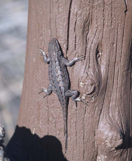
These little lizards were all over the park. This one sat nicely on a post while I took it's picture.
[ add comment ]
Back Next

 Calendar